We deliver advanced solutions in geospatial, navigation, machine control, and precision agriculture engineered for accuracy, reliability, and real-world performance. Our world-class technologies support construction, marine surveying, agriculture, and infrastructure monitoring, enabling higher efficiency and confident decision-making across complex environments.
Beyond products, our experienced team provides dependable service and technical expertise, ensuring long-term performance, operational continuity, and sustained value for every client we support.
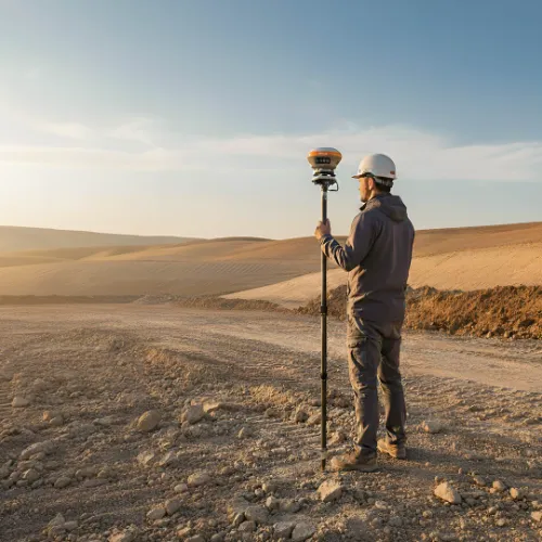
High Solutions delivers advanced CHCNAV GNSS receivers built for accurate, reliable, and efficient surveying. Designed for demanding field conditions, they ensure stable performance across construction, infrastructure, and geospatial applications.
Rapid initialization and efficient workflows help complete tasks faster with consistent accuracy.
Advanced GNSS technology delivers precise positioning compared to previous-generation systems.
Real-time data validation reduces rework and improves overall data quality.
Seamlessly connects with surveying controllers and project workflows.


Our dedicated team delivers reliable support for all the products, covering installation, operation, troubleshooting and long-term usage
We provide expert training programs designed to help customers understand, operate and maximize the efficiency of their purchased products.
Whenever support is required, our service team responds quickly, ensuring customer issues are resolved efficiently with dependable assistance.
Our skilled team installs and configures the products, ensuring accurate performance and smooth integration across diverse applications.
We provide reliable maintenance, timely troubleshooting and professional technical support to keep all products performing at peak.
For product service and technical assistance, customers can reach our dedicated support team at any time. We provide prompt guidance for installation and troubleshooting.

We provide advanced geospatial and machine control solutions ensuring precision, efficiency and reliability across construction projects in the Middle East and Africa.

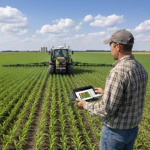
Our precision agriculture technologies empower farmers with GNSS systems, steering and land leveling to increase yield and save resources.

We offer marine surveying solutions designed for accurate seabed mapping, navigation safety and coastal infrastructure development across challenging environments.

Our monitoring and surveying tools ensure accuracy and efficiency, supporting infrastructure development with dependable geospatial technologies for better project outcomes.